Services for Solar Energy
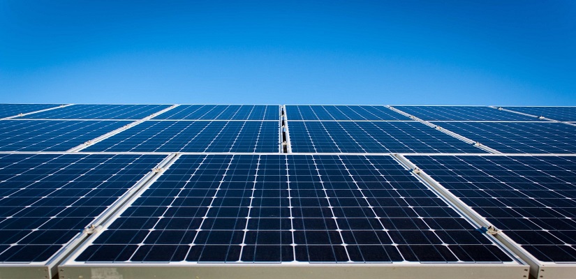
In the booming solar industry, efficiency is crucial for any company’s success. Whether it is installation, inspection, repair or surveying land for solar farm prospecting, aerial photos, maps and 3D models can improve productivity and accelerate design cycles. The latest drone technology — like aerial mapping, thermal imaging, digital terrain modeling, and automated roof measurement — gives you a rich set of data to streamline your workflows and generate real-time insights. High-resolution drone maps far surpass imagery gathered by satellite or manned aircraft in accuracy, accessibility, and cost.
By taking aerial footage of an entire solar asset in a short period of time (a couple hours), the company can eliminate inconsistencies and avoidable errors in their inspection data. The simplest example would be Identifying areas with dust over the solar panel and dusting of sand from the surface by simply flying the UAV over it and using its downdraft to throw off any dust particles that have settled on the panel rather than sending a dedicated cleaning crew.
Further, drones can drastically reduce the cost and safety risk taken by technicians for periodically checkup of combiners and inverters to check operating capacity of solar farm. Our solution helps to eliminate technicians’ unnecessary exposure to electric shock by localising defects and pinpointing faults.